Southwest Florida's Canal Community
Welcome to Port Charlotte, a canal-lined Gulf Coast community on Charlotte Harbor between Sarasota and Fort Myers.
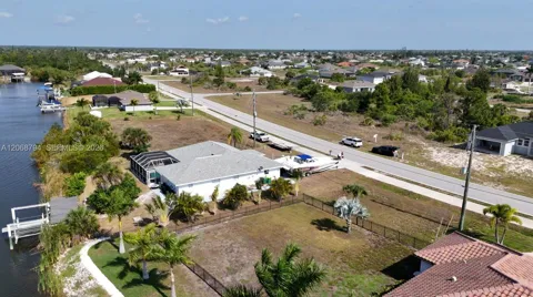
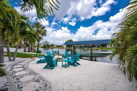
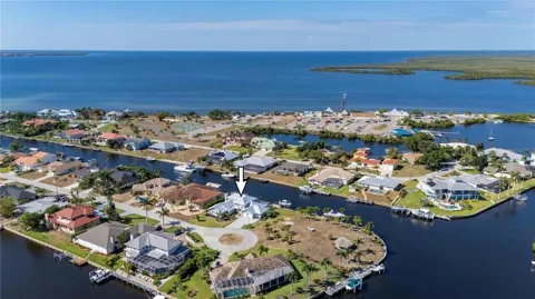
Port Charlotte is an unincorporated census-designated place in Charlotte County, on Florida's Gulf Coast roughly midway between Sarasota and Fort Myers. It faces Charlotte Harbor, one of the state's largest estuarine systems, with the Peace River forming its boundary with Punta Gorda to the east and the Myakka River marking its western edge. The community was planned and developed in the 1950s by the General Development Corporation, which laid out its signature grid of residential canals. It is now the most populous community in Charlotte County and part of the Sarasota metropolitan area. The canal network is Port Charlotte's defining feature. More than 160 miles of man-made waterways wind through the community, giving a large share of homes backyard water access to the harbor and, by extension, the Gulf. Around the canals sits a patchwork of residential sections, golf-oriented and 55+ communities, and inland neighborhoods, so housing ranges from modest mid-century ranchers to newer waterfront and new-construction homes. The community attracts a mix of retirees, seasonal residents, families, and boaters. Recreation and daily life revolve around the water. Residents boat and fish on Charlotte Harbor and the Peace and Myakka rivers, launch from neighborhood ramps, and paddle the trails of Charlotte Harbor Preserve State Park. Inland parks such as Tippecanoe Environmental Park add miles of hiking through uplands and wetlands, while Port Charlotte Beach Park provides a harborfront swimming and sunset spot. Golf courses, community pools, and a small arts scene round out local life, with the restaurants and waterfront of Punta Gorda a short drive or boat ride across the river. Port Charlotte is served by Charlotte County Public Schools, headquartered in the community, along with a range of healthcare facilities including the area's hospitals and medical offices. Interstate 75 runs through the county with several exits serving the area, and Punta Gorda Airport offers commercial passenger service minutes away, with Southwest Florida International Airport in Fort Myers within roughly an hour's drive.
Port Charlotte is in Charlotte County, on Florida's Gulf Coast between Sarasota and Fort Myers. It is the most populous community in the county and is included in the Sarasota metropolitan area.
Yes. More than 160 miles of residential canals wind through Port Charlotte, and many homes have backyard docks with access to Charlotte Harbor and, from there, the Gulf of Mexico. Neighborhoods vary in their water access, from deep-water sections to freshwater canals.
Charlotte County Public Schools, headquartered in Port Charlotte, serves the community and surrounding areas including Punta Gorda, Englewood, Rotonda West, and Babcock Ranch. The district enrolls roughly 17,000 students in pre-K through 12th grade.
Port Charlotte lies between the two cities along Interstate 75, on Charlotte Harbor. Punta Gorda Airport is minutes away, and Southwest Florida International Airport in Fort Myers is within about 90 minutes by car.
Boating and fishing on Charlotte Harbor and the Peace and Myakka rivers are the main draws, along with kayaking in Charlotte Harbor Preserve State Park, swimming at Port Charlotte Beach Park, and hiking at Tippecanoe Environmental Park.
City Guide
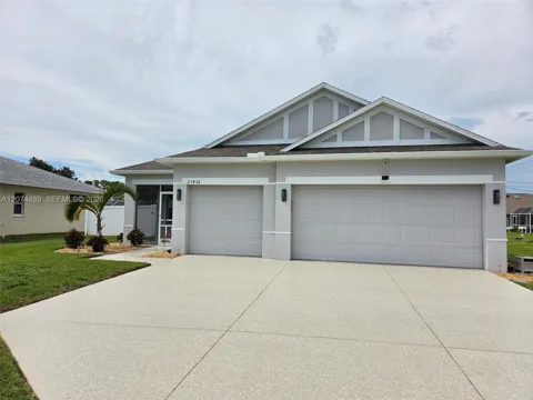
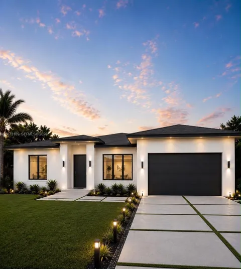
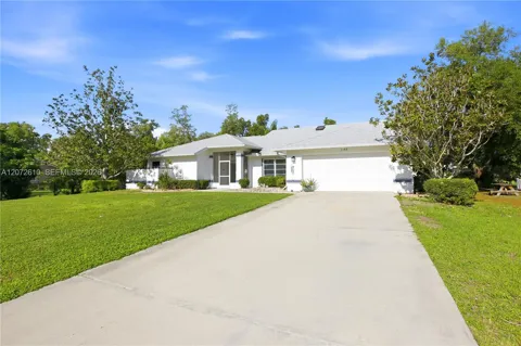
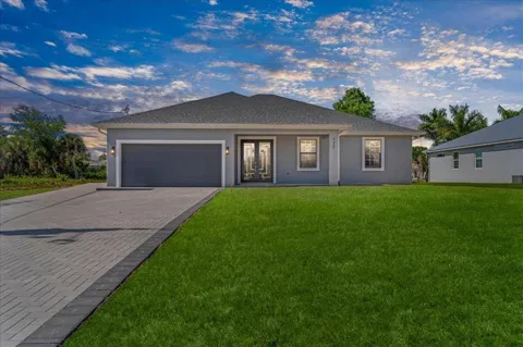
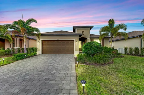
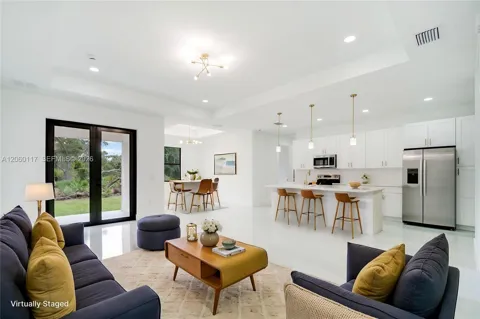
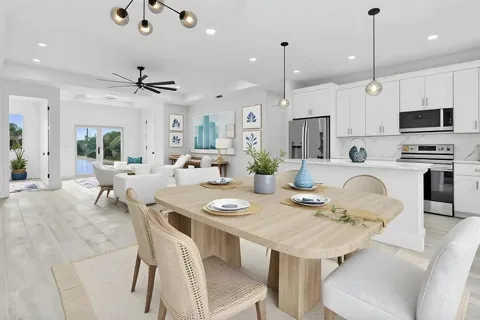
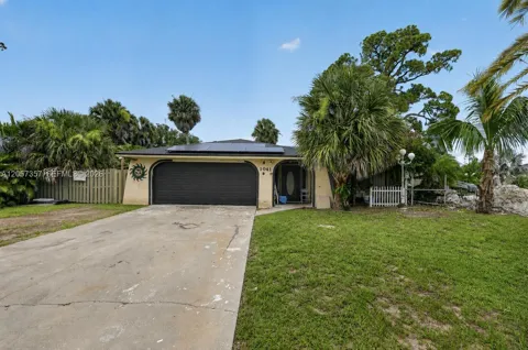
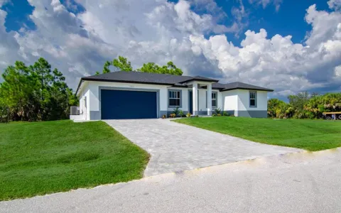
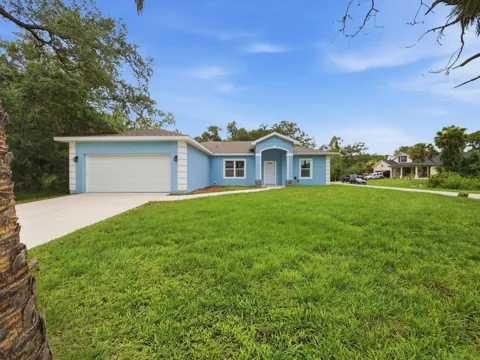
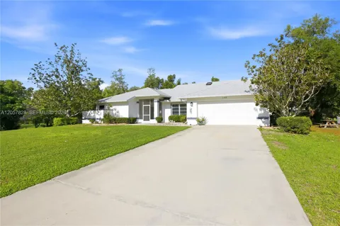
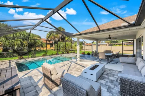
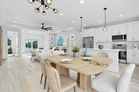
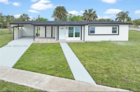
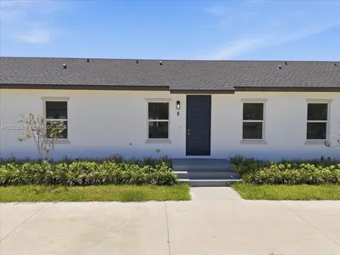
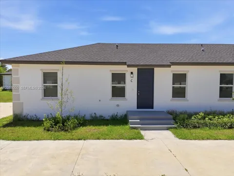
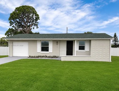
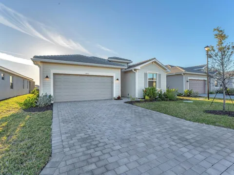
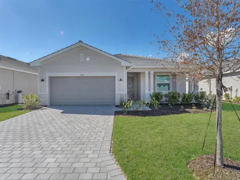
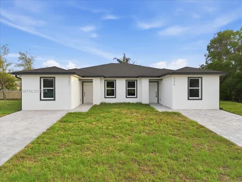
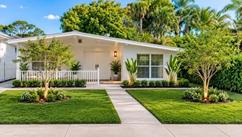
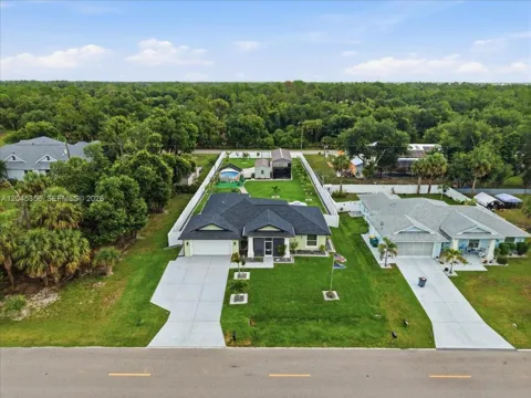
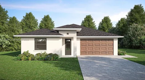
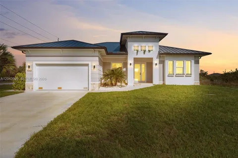
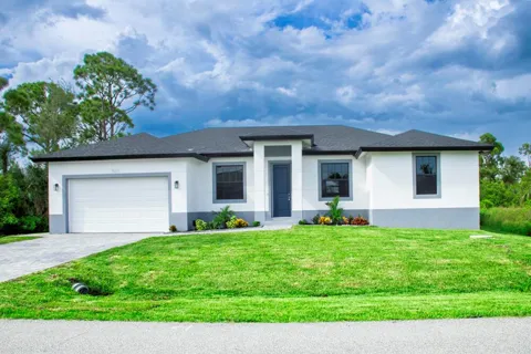
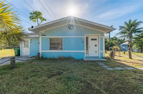
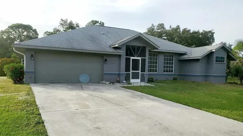
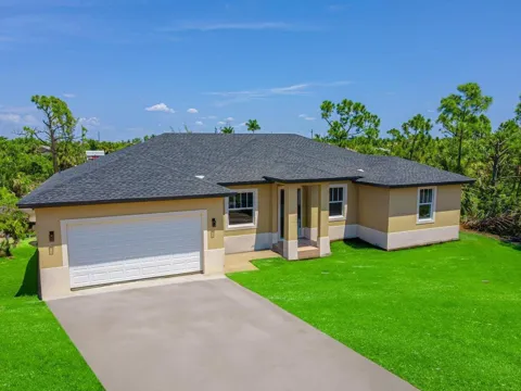
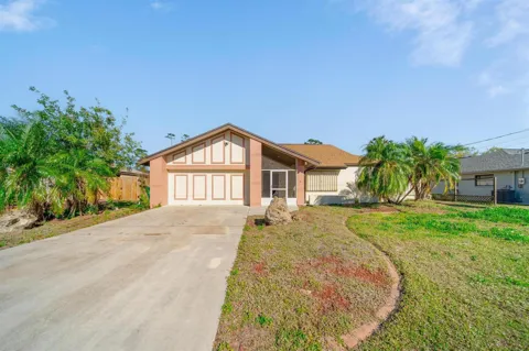
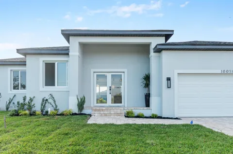
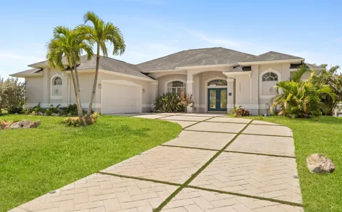
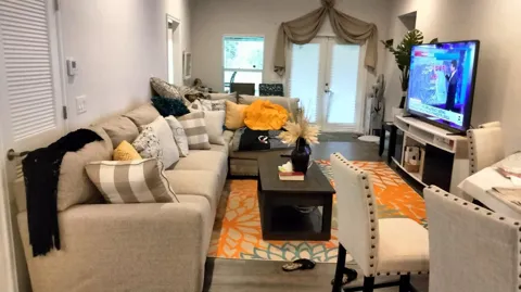
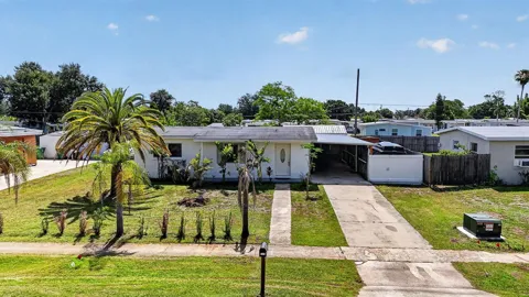
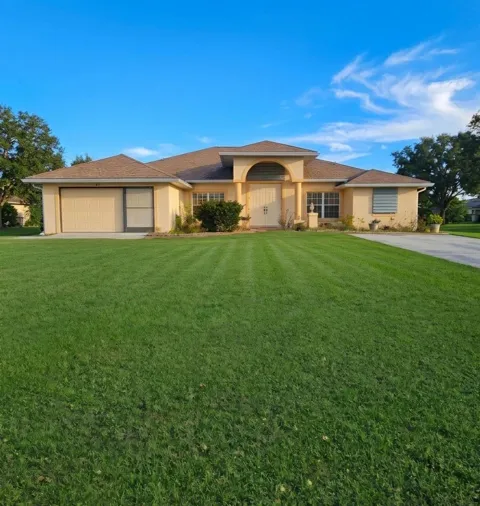
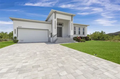
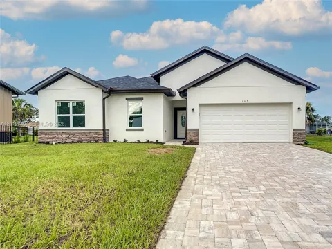
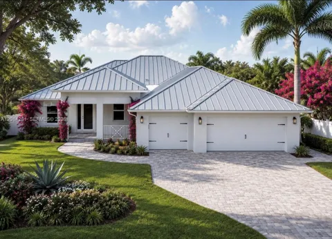
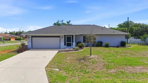
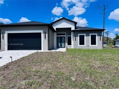
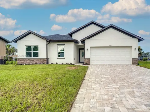
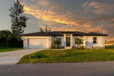
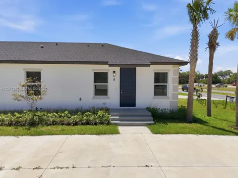
Port Charlotte's housing stock is defined by its canal grid. General Development Corporation platted the community in the mid-twentieth century with hundreds of miles of excavated waterways, and many homes — from original mid-century ranchers to newer custom builds — sit on saltwater or freshwater canals with dock access. Neighborhoods such as Harbor Heights, on the north side of the Peace River, mix older and newer canal homes, while Gulf Cove, near the Myakka River, offers a more secluded, wooded setting. Away from the water, inland subdivisions, golf-course communities, and 55+ developments broaden the mix. Lot sizes tend to be generous by Florida coastal standards, and the community's housing character reflects its origins as a planned, water-oriented development rather than a dense urban center.
Port Charlotte is less a single town than a patchwork of sections, many named and platted around the canal system. Harbor Heights, on the north bank of the Peace River, blends older and newer canal homes and appeals to buyers balancing water access with value. Gulf Cove, near the Myakka River on the west side, is quieter and more wooded, with its own boat access. Throughout the community, designated sections mix residential canal lots with inland streets, while golf-course communities and 55+ developments cluster around their own amenities. This structure means households can target specific priorities — deep-water Gulf access, a maintenance-free lifestyle, newer construction, or an inland lot — often within a few miles of one another.
Life in Port Charlotte centers on the water. Residents keep boats in backyard canals, fish the harbor and the Peace and Myakka rivers, and gather at harborfront parks for sunsets. Charlotte Harbor Preserve State Park provides kayak and canoe trails through one of Florida's most intact estuarine systems, while Port Charlotte Beach Park offers swimming, playgrounds, and picnic space. Golf is woven through the community, and the restaurants, marinas, and shops of Punta Gorda sit just across the Peace River. The community has a relaxed, outdoor-oriented rhythm shaped by a large retiree and seasonal population alongside working families, all drawn by mild winters and easy access to the Gulf.
Public education in Port Charlotte is provided by Charlotte County Public Schools, a district of roughly 17,000 students in pre-kindergarten through 12th grade, headquartered at Education Way in Port Charlotte. The district operates about two dozen schools serving Port Charlotte, Punta Gorda, Englewood, Rotonda West, and Babcock Ranch, so Port Charlotte students attend a mix of neighborhood elementary, middle, and high schools within the county system. Private and charter options are also available in the area. The district's central location in Port Charlotte reinforces the community's role as a hub for the broader Charlotte County region.
Interstate 75 is Charlotte County's primary highway, running north-south through the region with several exits serving Port Charlotte and Punta Gorda. U.S. 41, the historic Tamiami Trail, parallels the interstate and links the community to Punta Gorda, Sarasota to the north, and Fort Myers to the south. For air travel, Punta Gorda Airport, just minutes away, offers commercial passenger service, while Southwest Florida International Airport in Fort Myers lies within about 90 minutes by car. Local transit is provided by Charlotte County Transit, a shared-ride, curb-to-curb service available throughout the county. Car travel dominates, and the interstate corridor is the area's main connection to the rest of Southwest Florida.
Charlotte Harbor anchors Port Charlotte's outdoor life, with boating, fishing, and paddling across one of Florida's largest estuarine systems. Charlotte Harbor Preserve State Park protects uplands and wetlands best explored by kayak or canoe, with trails winding through mangrove and marsh habitat popular with birders. Port Charlotte Beach Park offers harborfront swimming, sunsets, and picnic areas, while Tippecanoe Environmental Park adds 380 acres of interconnected hiking trails along Tippecanoe Bay. Regional trails such as the Cape Haze Pioneer Trail extend the options for walking and cycling, and numerous golf courses and community parks round out a recreation mix built around sun, water, and open space.
MARKET SNAPSHOT
How homes have been selling here over the last 90 days.
Market data reflects closed sales over the last 90 days and is provided for informational purposes.
BROWSE BY ZIP
Browse listings by postal code in this area.